Geo Intelligence Data Service.

Explore

Turns satellite imagery into the number and the documenta business needs to move forward.

How It Works

  1. Situation
  2. Intelligence
  3. Decision

Every service runs the same pipeline: pull the imagery, process it into a model, deliver a number and a document you can act on.

3 Solutions

Select a solution to see how geo-intelligence becomes action.

EUDR Compliance

Is your land compliant since 2020?

Upload your parcel boundary and we check it against the satellite record back to 2020, whether it was forest before it became farmland, and whether it touches a protected area. You get a compliance report in the format EU customs accepts.
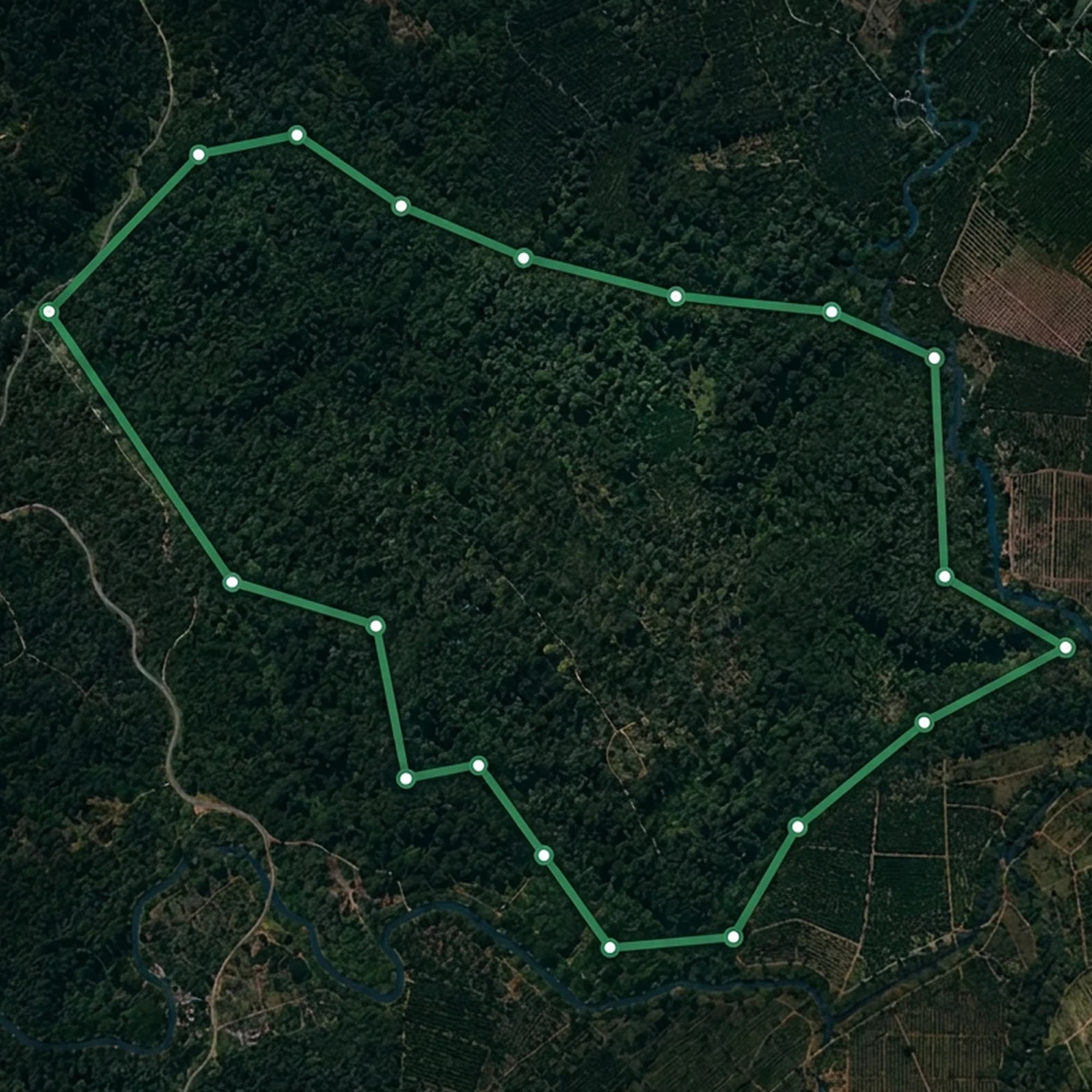
A parcel boundary checked against satellite history for EUDR compliance

Agriculture Forecasting

Forecast crop yield before harvest.

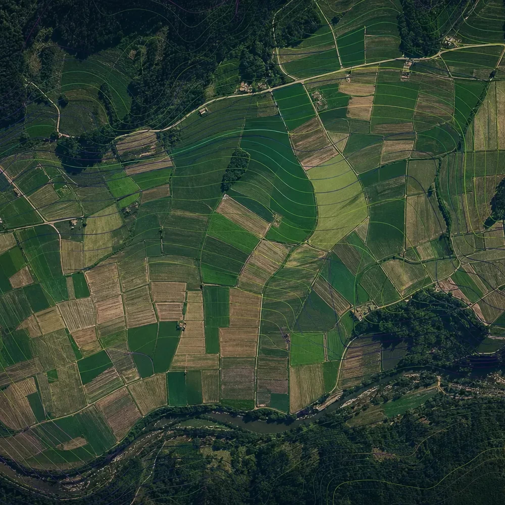
Draw your fields once and every satellite pass over the season gets combined into a growth record covering planting, growth, peak, and ripening. You see which fields will yield well and which are falling behind before harvest happens.

A crop forecast rendered across agricultural parcels

Flood risk intelligence

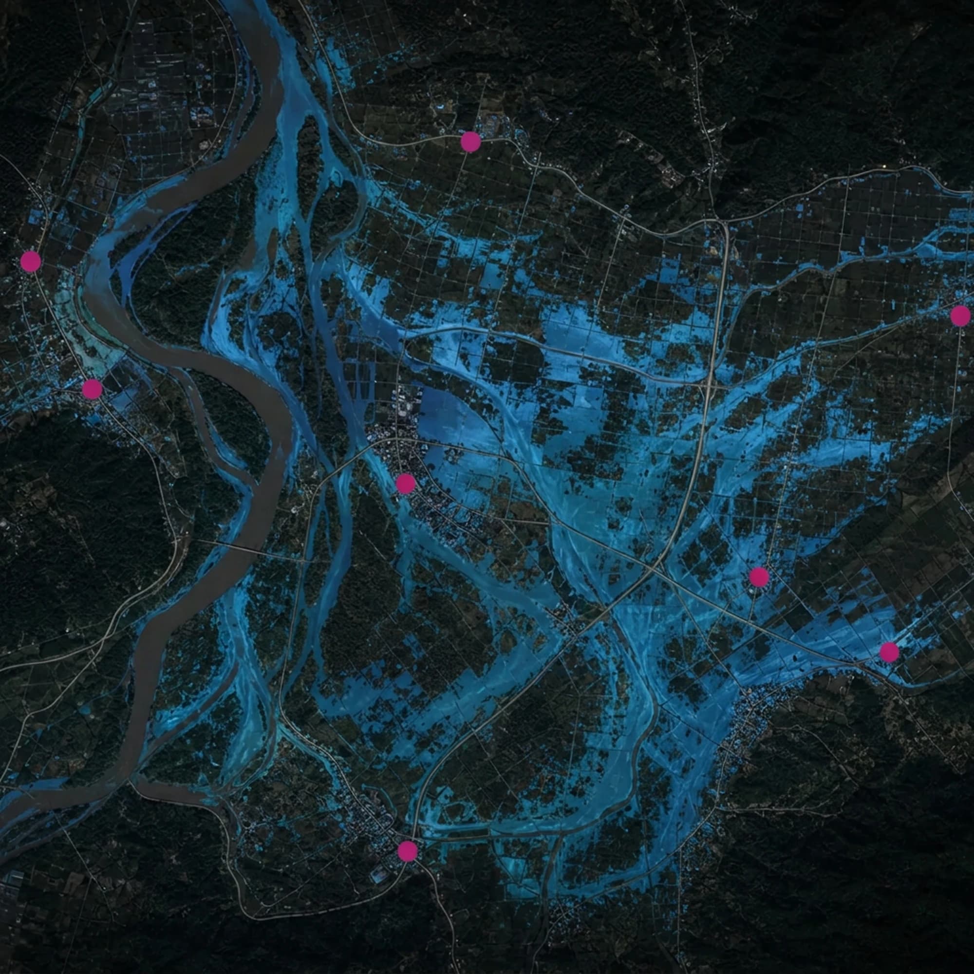
A flood risk score for every location.

The area is divided into hexagons about 150 meter across, about the size of a city block. Each one gets an exposure score based on terrain, soil, and rainfall history.

Flood risk modelled across a mapped area

Sensors

  • 01Optical imagery
  • 02SAR radar

Ready made, or built for a specific need

Ready-made data products, or a custom pipeline for a workflow no existing product covers.

Request a demo to see it work with your data.